
A Powerful Winter Attack Approaching Norway and Poland? Weather Forecast Surprises
The latest meteorological data indicate that a phenomenon known as "sudden stratospheric warming" could bring an exceptionally cold winter to northern Europe. As a result of changes in stratospheric conditions, normal air flow may be disrupted and strong cold waves may occur. Experts remind us that although at first glance the phenomenon seems "warm," its effects are usually quite the opposite. In Poland and Scandinavian countries, prolonged periods of low temperatures may occur.

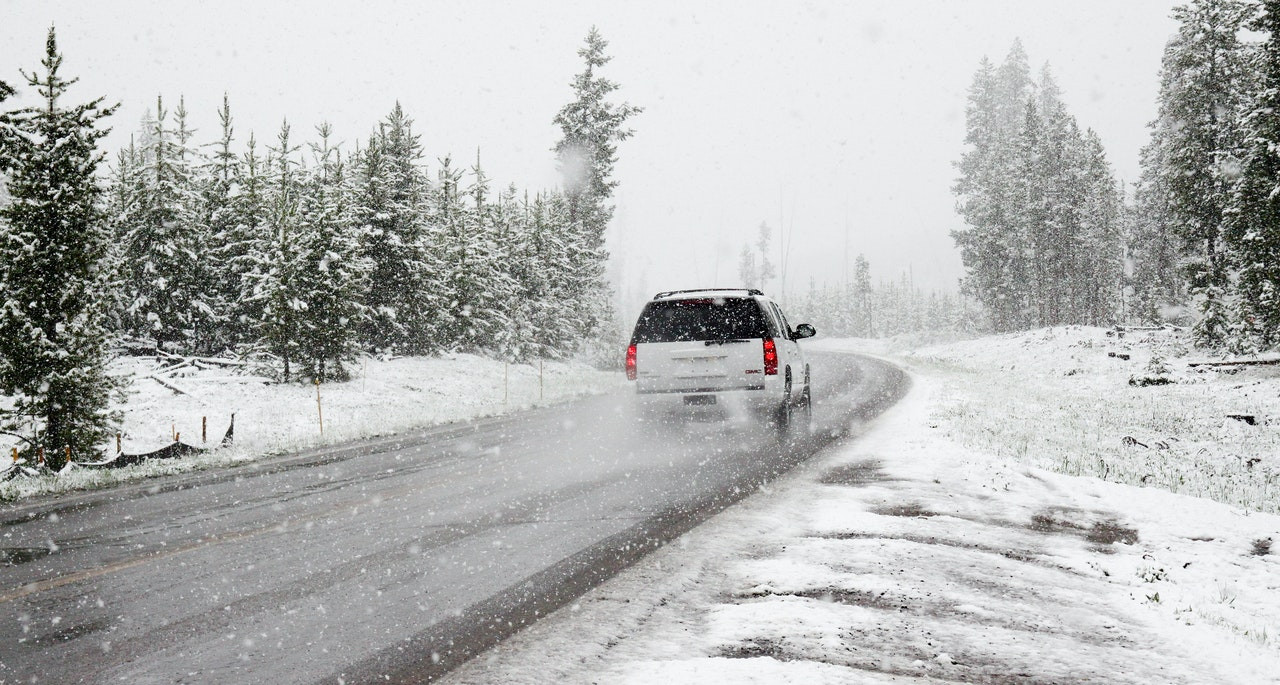
Forecasts indicate that winter may be "harsher" than usual.
Fot. Adobe Stock, licencja standardowa
The phenomenon involves a significant temperature increase in the stratosphere over the polar region within a short period of time. Under normal conditions, the air in the stratosphere above polar regions in winter is extremely cold because very little solar radiation reaches there.
When warmer air masses move into that area, the temperature can rise by several dozen degrees within a few days. This change affects the wind patterns high in the atmosphere, which in turn can influence weather conditions at the surface.
When warmer air masses move into that area, the temperature can rise by several dozen degrees within a few days. This change affects the wind patterns high in the atmosphere, which in turn can influence weather conditions at the surface.
Winter 2025/2026. Prepare for severe frosts
When a "breakdown" of the polar vortex occurs in the stratosphere—the main wind structure around the pole—the west-to-east air flow weakens and sometimes the wind direction changes. As a result, instead of mild and humid air masses from the ocean, cold and dry air flows in from the east.
This mechanism can lead to significant cooling in regions that are usually milder in winter. The situation is known from previous winters, such as in 2009–2010, when very severe frosts followed such a phenomenon.
This mechanism can lead to significant cooling in regions that are usually milder in winter. The situation is known from previous winters, such as in 2009–2010, when very severe frosts followed such a phenomenon.
The phenomenon may reach Scandinavia as well as Poland, among others.Photo: Pexels
Will Temperatures Drop Below Normal?
Although sudden stratospheric warming itself sounds like a sign of a milder winter, its effect can be exactly the opposite: sometimes it takes several weeks before the air masses begin to move toward the surface. During this time, a blocking high-pressure system—a long-lasting area of weather "stagnation"—can form over a given region.
All of this may contribute to the persistence of very cold atmospheric conditions. In extreme cases, temperatures can drop significantly below normal.
All of this may contribute to the persistence of very cold atmospheric conditions. In extreme cases, temperatures can drop significantly below normal.
How do you rate this article?