Too cold and too dry. Norway summarizes February and the past winter
February in Norway was 3.1 degrees colder than normal. It was the coldest such month since 2010.
The winter as a whole was 1.5 degrees below normal.
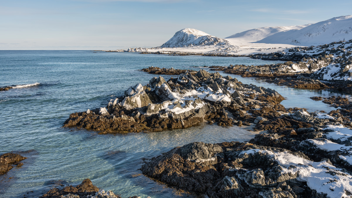
Fot. Adobe Stock, licencja standardowa (zdjęcie poglądowe)
The Norwegian Meteorological Institute has published preliminary climate data for February and a summary of the winter season. The average temperature in February was 3.1 degrees lower than the national norm. The entire winter ended up being 1.5 degrees below normal. Experts emphasize that a cold period does not mean that climate change has stopped.
The coldest February in 15 years
February 2026 was the coldest since 2010. The temperature across the country was clearly below normal. The entire winter was also colder than usual.
The highest average temperatures were recorded at coastal stations. Svinøy fyr reached 2.9 degrees, which is 0.8 degrees below normal. Ytterøyane fyr recorded 2.8 degrees. The coldest place was Finnmark. Karasjok - Markannjarga recorded minus 19.1 degrees, which is 5.2 degrees below normal.
Climatologist Hans Olav Hygen points out that despite the cold start to the year, the warming trend in Norway remains clear. He recalls the exceptionally warm pre-Christmas period in 2025. In his opinion, prolonged cold spells may be related to climate change. In a warmer climate, weather phenomena can persist longer, both in winter and summer.
The highest average temperatures were recorded at coastal stations. Svinøy fyr reached 2.9 degrees, which is 0.8 degrees below normal. Ytterøyane fyr recorded 2.8 degrees. The coldest place was Finnmark. Karasjok - Markannjarga recorded minus 19.1 degrees, which is 5.2 degrees below normal.
Climatologist Hans Olav Hygen points out that despite the cold start to the year, the warming trend in Norway remains clear. He recalls the exceptionally warm pre-Christmas period in 2025. In his opinion, prolonged cold spells may be related to climate change. In a warmer climate, weather phenomena can persist longer, both in winter and summer.
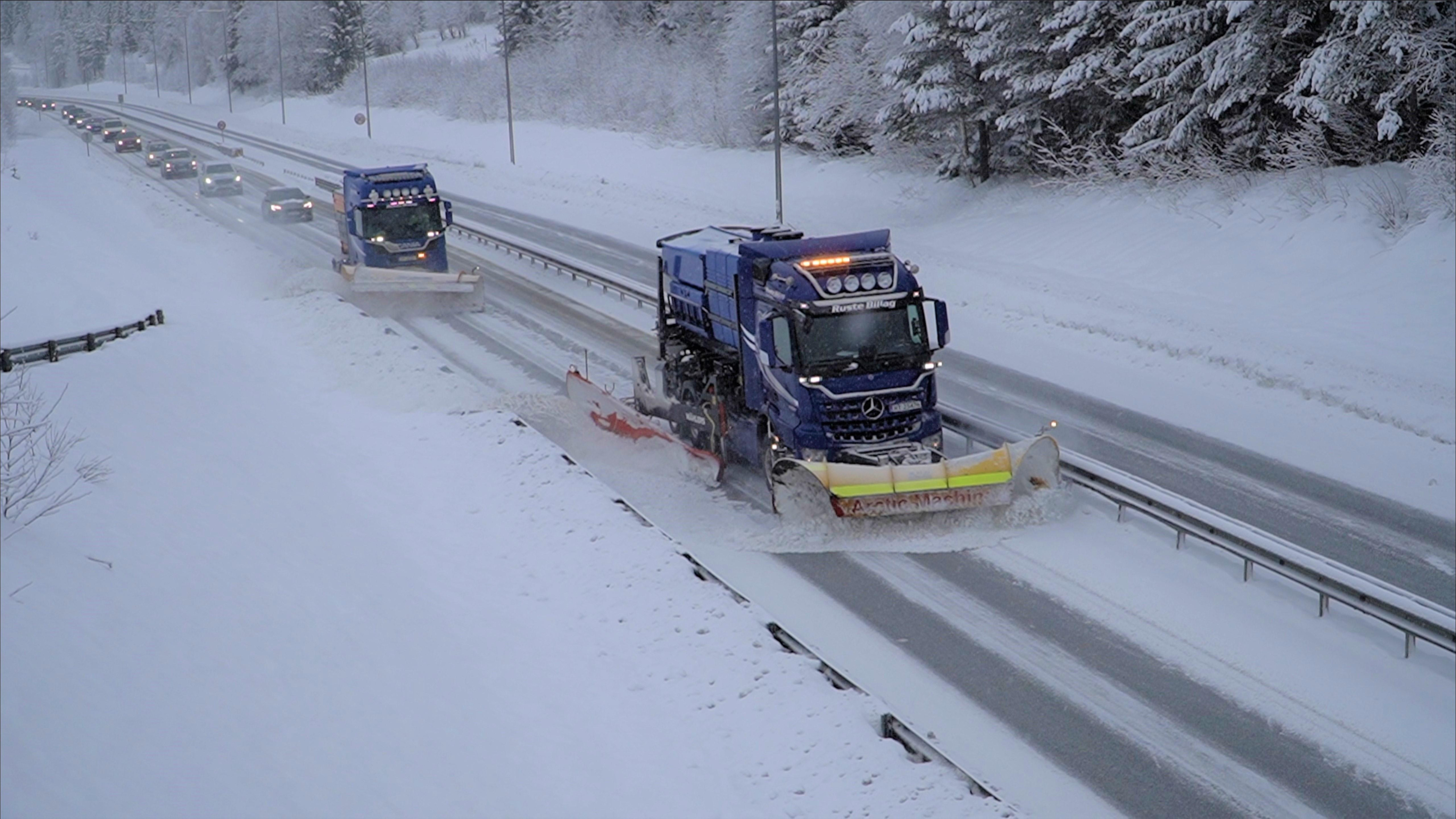
Long cold spells may be related to climate change.Photo: Statens vegvesen/press materials
A dry month and less snow
In February, there was 50 percent less precipitation than the national average. It was the 15th driest February in the measurement series conducted since 1901. The highest precipitation was recorded in Brekke in Sogn – 224.4 mm. This is 28 percent less than usual. In several locations, reference norms are not yet available.
The driest stations were located in Innlandet and Trøndelag. Otta - Skansen recorded 1.7 mm of precipitation. In Dovre-Lannem, 3.3 mm fell. By the end of the month, much of the country had less snow than usual. Exceptions are shown on the map in the report.
Meteorologist Mamen emphasizes that cold months are often poor in precipitation. He notes that the precipitation that does occur is most often in the form of snow. Therefore, locally, residents may have experienced the winter as snowy, despite low precipitation totals nationwide.
In 2026, the astronomical spring falls on March 20. The next day, the new season begins according to the calendar. Meteorologists and climatologists approach these periods differently. Scientifically, winter lasts from December 1 to the last day of February.
The driest stations were located in Innlandet and Trøndelag. Otta - Skansen recorded 1.7 mm of precipitation. In Dovre-Lannem, 3.3 mm fell. By the end of the month, much of the country had less snow than usual. Exceptions are shown on the map in the report.
Meteorologist Mamen emphasizes that cold months are often poor in precipitation. He notes that the precipitation that does occur is most often in the form of snow. Therefore, locally, residents may have experienced the winter as snowy, despite low precipitation totals nationwide.
In 2026, the astronomical spring falls on March 20. The next day, the new season begins according to the calendar. Meteorologists and climatologists approach these periods differently. Scientifically, winter lasts from December 1 to the last day of February.
How do you rate this article?