Josephine's remnants over Norway. Strong winds and waves up to 7 metres
After the weekend storm Boelo, another low-pressure system associated with the remnants of Josephine is approaching. On Tuesday, 27 October, the strongest winds are expected along the west coast. On Wednesday, 28 October, the weather will deteriorate in Trøndelag and Nordland.
Josephine weakened while crossing the Atlantic. As the Norwegian Meteorological Institute explains, its remnants will reach the country. The low-pressure system will bring rain and strong winds, but the weather should be less severe than during Boelo.
The weekend storm left thousands of customers without power. Flooding also led to the closure of the E6 between Lillehammer and Biri, while strong winds damaged buildings. In Mandal, roof tiles were torn off a police station.
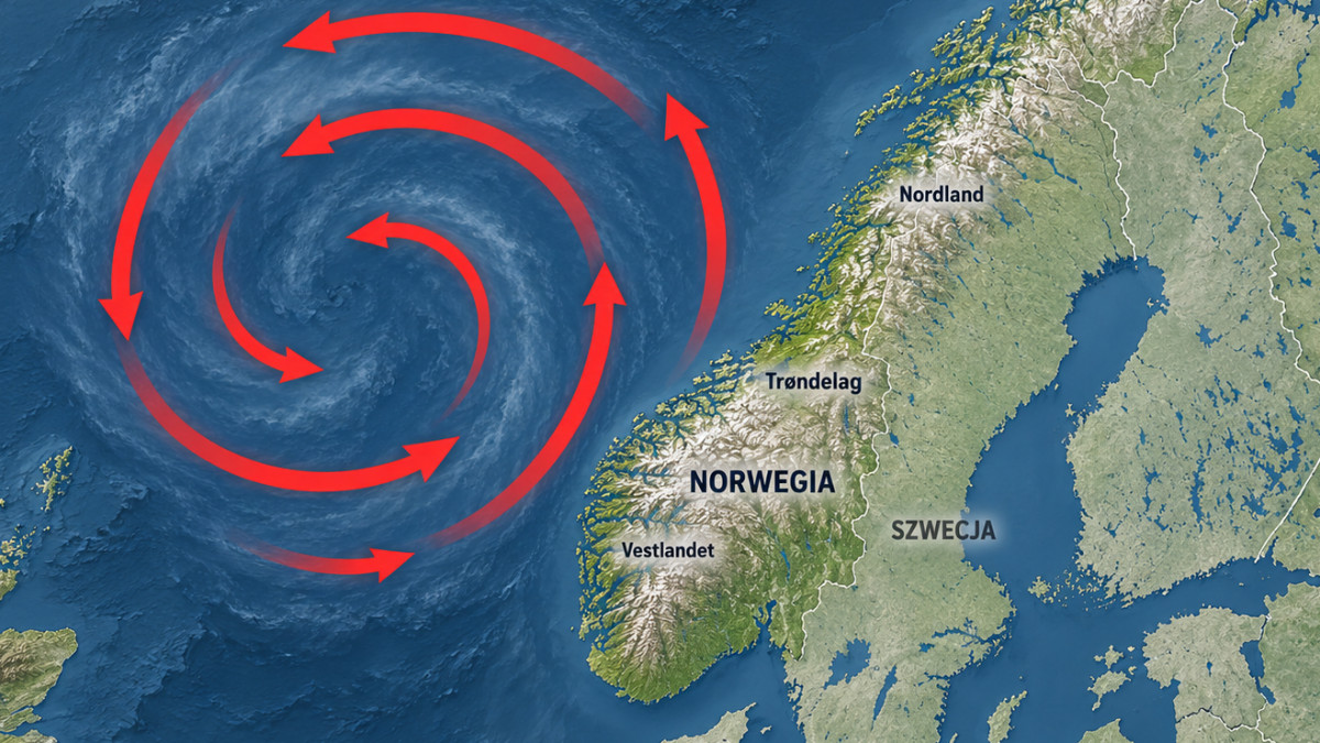
Red arrows show air movement around the low-pressure system
MN / ai
Strongest winds around Stad
Strong southerly winds are expected along the coast and in the mountains. Speaking to Dagbladet, meteorologist Aslaug Skålevik Valved from the Meteorological Institute forecasts strong gale-force winds, reaching storm force in some places. The strongest winds may occur around Stad. On Wednesday, the system will move further north. Strong gale-force winds are then forecast for Trøndelag and Nordland. The heaviest rain is expected in the west of the country. According to Tuesday's forecast, precipitation should not be intense enough for meteorologists to issue warnings.
Waves up to 7 metres. Small boats are better left in port
At sea and near the coast, waves may reach 5–7 metres in some places. According to NRK, the highest waves are expected on Tuesday in the west and on Wednesday along the coasts of Trøndelag and Nordland. Meteorologists advise against taking small boats out due to dangerous conditions. The institute is also monitoring sea levels. Although forecasts remain below the warning threshold, elevated water levels may cause local problems. Meteorologists are monitoring the situation continuously. Before setting out on a voyage or heading into the mountains, it is worth checking the forecast for a specific location and current warnings on Yr.
How do you rate this article?